
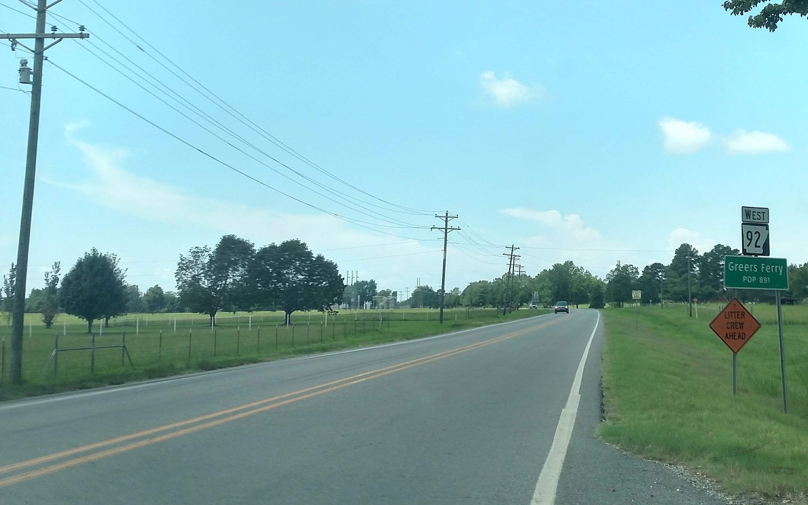
Sell Mineral Rights in Greers Ferry, AR
Greers Ferry is best known for the lake and dam that share its name, but the town also sits within the broader Fayetteville Shale leasing footprint in Cleburne County.
Tourism and lake recreation drive most of the local economy here, and it's easy for landowners to think of their property purely in those terms without realizing there's an oil and gas history layered underneath. If you own minerals near Greers Ferry, that history is real, even if the county's overall shale results were more modest than the play's core.
Lake town, Fayetteville Shale fringe
The Corps of Engineers project that created Greers Ferry Lake reshaped a lot of land use in this part of Cleburne County, but the mineral estate under privately held land nearby is still subject to the same Fayetteville Shale leasing and drilling history as the rest of the county's fringe area.
What we check before quoting a value
We look at operator and permit records for your specific legal description, confirm whether a well has ever been drilled nearby, and check current production if one exists. Given how variable results are on the county's fringe, we don't rely on general assumptions about the area.
If your interest is undeveloped, we price it as such, tied to potential future activity rather than current royalty income.
Confirming ownership near lake-area development
Land near Greers Ferry Lake has changed hands more than most rural Cleburne County acreage, sometimes without minerals transferring cleanly. We check whether your specific chain of title includes the mineral estate as part of any offer.
Anchor Sell Mineral Rights in Greers Ferry, AR to the Arkansas County Record
A location guide should lead back to a real tract record. The working file identifies the county, legal description, acreage, mineral reservation, estate type, formation and depth limits, owner fraction, and the deed, probate order, trust instrument, or corrective document supporting the present ownership claim.
Connect Local Activity to the Actual Interest
Fayetteville and Smackover activity varies by county, formation, tract, unit, operator, project stage, and product scope. Public wells, permits, and project announcements can add context, while the private deed, lease, unit record, paid decimal, statement history, brine language, and title chain define the interest under review.
Keep the Sell Mineral Rights in Greers Ferry, AR Review in Writing
The owner copy should retain the source deed, lease, unit or project record, division order, statement evidence, title questions, written offer assumptions, retained-rights language, settlement record, funding confirmation, and county recording reference.
Questions from Arkansas owners
- Owner question
Does the lake and dam project affect who owns the minerals nearby?
Not directly for privately held land outside the project boundary, but land near the lake has changed hands frequently, so we verify the mineral chain of title carefully.
- Owner question
Is this part of Cleburne County part of the productive Fayetteville Shale core?
No, it's on the fringe, with lower well density and more variable results than counties like Van Buren or Faulkner.
- Owner question
How do you find out if your lake-area property still includes mineral rights?
We review the deed history for your specific parcel to check whether minerals were reserved or conveyed separately from the surface.
- Owner question
Do you buy interests near the lake even if there's never been a well drilled?
Yes, undeveloped acreage near Greers Ferry still has potential value, and we evaluate it based on nearby activity rather than requiring existing production.
Related Arkansas guides
All Arkansas owner guidesPut This Arkansas Interest on the Acquisition Schedule
Share the Arkansas county, interest type, producing status, operator or payor if known, recent statement detail, and the decision that needs a clearer answer.
Request an Arkansas Mineral ReviewCall 501-799-8201